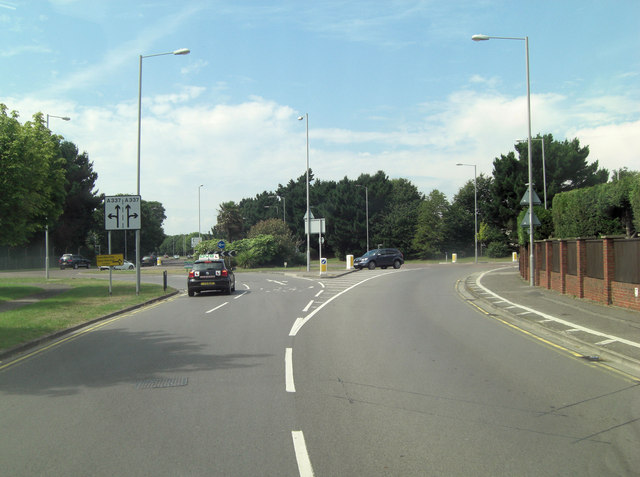
A337 roundabout
Introduction
The photograph on this page of A337 roundabout by Stuart Logan as part of the Geograph project.
The Geograph project started in 2005 with the aim of publishing, organising and preserving representative images for every square kilometre of Great Britain, Ireland and the Isle of Man.
There are currently over 7.5m images from over 14,400 individuals and you can help contribute to the project by visiting https://www.geograph.org.uk

Image: © Stuart Logan Taken: 7 Aug 2013
Taken from the Highcliffe Road with Hoburne Road to the right and The Runway to the left. That name gives the clue to the absence of the old Christchurch Airfield which was situated astride the road. It was a civil airfield starting from 1926 and was used during World War II by the RAF and the USAF - 9th Air Force. After the war the airfield returned to civilian use but was closed in the mid-sixties, most buildings were demolished in 1966. See also: http://en.wikipedia.org/wiki/Christchurch_Airfield

