Findochty Harbour
Introduction
The photograph on this page of Findochty Harbour by Anne Burgess as part of the Geograph project.
The Geograph project started in 2005 with the aim of publishing, organising and preserving representative images for every square kilometre of Great Britain, Ireland and the Isle of Man.

There are currently over 7.5m images from over 14,400 individuals and you can help contribute to the project by visiting https://www.geograph.org.uk
Findochty Harbour
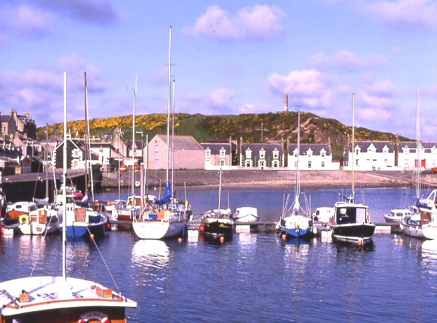
Image: © Anne Burgess Taken: 8 Jun 1988
The picturesque harbour of Findochty (usually pronounced Fin-NECH-ty) was originally built for fishing boats but now shelters mostly leisure craft.
Images are licensed for reuse under creativecommons.org/licenses/by-sa/2.0
Image Location


Leaflet Map data © OpenStreetMap
Latitude
57.697663
Longitude
-2.907258