Harvested field by the A1(M)
Introduction
The photograph on this page of Harvested field by the A1(M) by Bill Boaden as part of the Geograph project.
The Geograph project started in 2005 with the aim of publishing, organising and preserving representative images for every square kilometre of Great Britain, Ireland and the Isle of Man.

There are currently over 7.5m images from over 14,400 individuals and you can help contribute to the project by visiting https://www.geograph.org.uk
Harvested field by the A1(M)
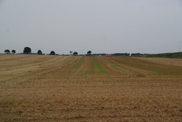
Image: © Bill Boaden Taken: 23 Aug 2013
Vehicles on the A1(M) can be seen beyond the far end of the field. Junction 50 is just off to the right.
Images are licensed for reuse under creativecommons.org/licenses/by-sa/2.0
Image Location
Latitude
54.182493
Longitude
-1.452498