Druid Mine, Ashburton
Introduction
The photograph on this page of Druid Mine, Ashburton by Chris Allen as part of the Geograph project.
The Geograph project started in 2005 with the aim of publishing, organising and preserving representative images for every square kilometre of Great Britain, Ireland and the Isle of Man.

There are currently over 7.5m images from over 14,400 individuals and you can help contribute to the project by visiting https://www.geograph.org.uk
Druid Mine, Ashburton
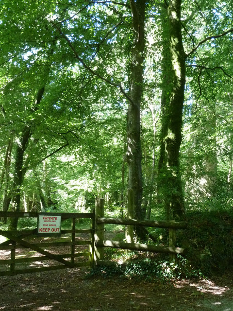
Image: © Chris Allen Taken: 31 Aug 2013
The remains include an engine house and brick topped chimney. The mine worked intermittently from the 1850s to the 70s for copper. The engine house was enlarged in 1869 to take a 56" engine. It is on private land but can be glimpsed from the road.
Images are licensed for reuse under creativecommons.org/licenses/by-sa/2.0
Image Location
Latitude
50.530497
Longitude
-3.772074