Remains of the Beehive
Introduction
The photograph on this page of Remains of the Beehive by Anthony Vosper as part of the Geograph project.
The Geograph project started in 2005 with the aim of publishing, organising and preserving representative images for every square kilometre of Great Britain, Ireland and the Isle of Man.

There are currently over 7.5m images from over 14,400 individuals and you can help contribute to the project by visiting https://www.geograph.org.uk
Remains of the Beehive
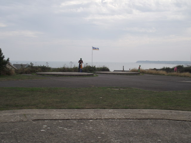
Image: © Anthony Vosper Taken: 23 Aug 2013
Two concrete circles make up some of the remains of a Cold War satellite tracking station. locally known as the Beehive.
Images are licensed for reuse under creativecommons.org/licenses/by-sa/2.0
Image Location
Latitude
50.733954
Longitude
-1.726185