Junction of Earlsdon Way and Crispin Close
Introduction
The photograph on this page of Junction of Earlsdon Way and Crispin Close by mike smith as part of the Geograph project.
The Geograph project started in 2005 with the aim of publishing, organising and preserving representative images for every square kilometre of Great Britain, Ireland and the Isle of Man.

There are currently over 7.5m images from over 14,400 individuals and you can help contribute to the project by visiting https://www.geograph.org.uk
Junction of Earlsdon Way and Crispin Close
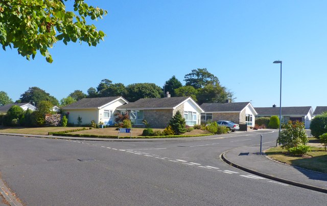
Image: © mike smith Taken: 4 Sep 2013
This is very much bungalow land in the residential areas of north Highcliffe.
Images are licensed for reuse under creativecommons.org/licenses/by-sa/2.0
Image Location
Latitude
50.743441
Longitude
-1.707706