Spycott
Introduction
The photograph on this page of Spycott by Derek Harper as part of the Geograph project.
The Geograph project started in 2005 with the aim of publishing, organising and preserving representative images for every square kilometre of Great Britain, Ireland and the Isle of Man.

There are currently over 7.5m images from over 14,400 individuals and you can help contribute to the project by visiting https://www.geograph.org.uk
Spycott
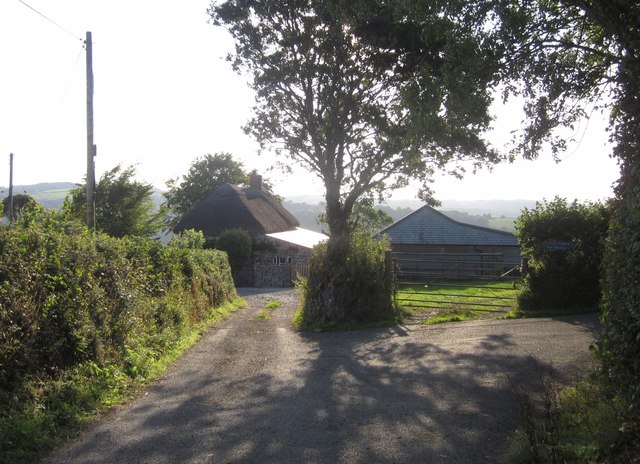
Image: © Derek Harper Taken: 22 Aug 2013
Also mapped as Spiecott; the listed building description at http://list.english-heritage.org.uk/resultsingle.aspx?uid=1117366&searchtype=mapsearch has both spellings. Here the public road ends, and a track turns off to the right, carrying Chittlehamholt Bridleway 29.
Images are licensed for reuse under creativecommons.org/licenses/by-sa/2.0
Image Location
Latitude
50.972572
Longitude
-3.944395