The mighty Dighty, weir than its name suggests?
Introduction
The photograph on this page of The mighty Dighty, weir than its name suggests? by John McMillan as part of the Geograph project.
The Geograph project started in 2005 with the aim of publishing, organising and preserving representative images for every square kilometre of Great Britain, Ireland and the Isle of Man.

There are currently over 7.5m images from over 14,400 individuals and you can help contribute to the project by visiting https://www.geograph.org.uk
The mighty Dighty, weir than its name suggests?
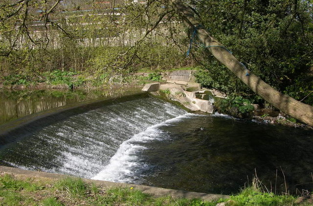
Image: © John McMillan Taken: 30 Apr 2006
The Dighty Water separates Broughty Ferry from Monifieth. This weir is haunt of the grey heron. There is an old fish ladder on the far bank.
Images are licensed for reuse under creativecommons.org/licenses/by-sa/2.0
Image Location
Latitude
56.481707
Longitude
-2.848157