Footbridge over Monk's Ditch, Llanwern
Introduction
The photograph on this page of Footbridge over Monk's Ditch, Llanwern by Jaggery as part of the Geograph project.
The Geograph project started in 2005 with the aim of publishing, organising and preserving representative images for every square kilometre of Great Britain, Ireland and the Isle of Man.

There are currently over 7.5m images from over 14,400 individuals and you can help contribute to the project by visiting https://www.geograph.org.uk
Footbridge over Monk's Ditch, Llanwern
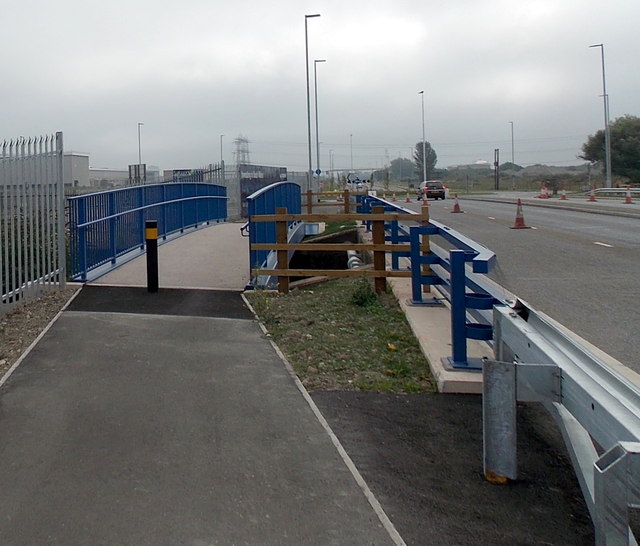
Image: © Jaggery Taken: 3 Sep 2013
The footbridge was built over Monk's Ditch http://www.geograph.org.uk/photo/3635669 during major work in 2012-2013 to transform the private road through Llanwern Steelworks into a public road between Newport and Magor. The newly opened road has been designated the A4810.
Images are licensed for reuse under creativecommons.org/licenses/by-sa/2.0
Image Location
Latitude
51.572092
Longitude
-2.914322