Monk's Ditch, Llanwern
Introduction
The photograph on this page of Monk's Ditch, Llanwern by Jaggery as part of the Geograph project.
The Geograph project started in 2005 with the aim of publishing, organising and preserving representative images for every square kilometre of Great Britain, Ireland and the Isle of Man.

There are currently over 7.5m images from over 14,400 individuals and you can help contribute to the project by visiting https://www.geograph.org.uk
Monk's Ditch, Llanwern
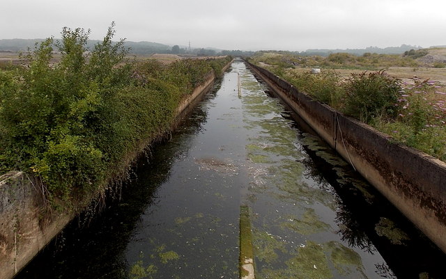
Image: © Jaggery Taken: 3 Sep 2013
Viewed looking north from the A4810. Monk's Ditch, a major drainage channel of the flat, low-lying Caldicot Level, empties into the Mouth of the Severn near Goldcliff. Here, Monk's Ditch is 10 metres wide in an area that used to be part of a steelworks.
Images are licensed for reuse under creativecommons.org/licenses/by-sa/2.0
Image Location
Latitude
51.576141
Longitude
-2.91397