The Viking Way north on the 'Lincoln Cliff'
Introduction
The photograph on this page of The Viking Way north on the 'Lincoln Cliff' by Tim Heaton as part of the Geograph project.
The Geograph project started in 2005 with the aim of publishing, organising and preserving representative images for every square kilometre of Great Britain, Ireland and the Isle of Man.

There are currently over 7.5m images from over 14,400 individuals and you can help contribute to the project by visiting https://www.geograph.org.uk
The Viking Way north on the 'Lincoln Cliff'
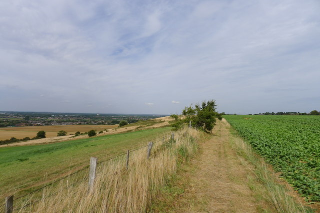
Image: © Tim Heaton Taken: 23 Aug 2013
With views to the southern suburbs of Lincoln along the Witham Valley
Images are licensed for reuse under creativecommons.org/licenses/by-sa/2.0
Image Location


Leaflet Map data © OpenStreetMap
Latitude
53.184136
Longitude
-0.541063