Access road to Pennybridge Farm
Introduction
The photograph on this page of Access road to Pennybridge Farm by David Anstiss as part of the Geograph project.
The Geograph project started in 2005 with the aim of publishing, organising and preserving representative images for every square kilometre of Great Britain, Ireland and the Isle of Man.

There are currently over 7.5m images from over 14,400 individuals and you can help contribute to the project by visiting https://www.geograph.org.uk
Access road to Pennybridge Farm
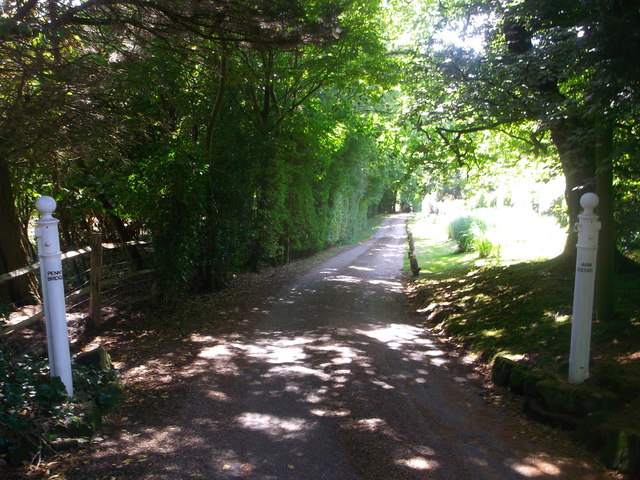
Image: © David Anstiss Taken: 31 Aug 2013
This track leads from Wadhurst Road towards the farm. A footpath also follows the track to head past the farm towards Tidebrook Road near Riseden.
Images are licensed for reuse under creativecommons.org/licenses/by-sa/2.0
Image Location
Latitude
51.057313
Longitude
0.300096