A20 near Swanley
Introduction
The photograph on this page of A20 near Swanley by David Dixon as part of the Geograph project.
The Geograph project started in 2005 with the aim of publishing, organising and preserving representative images for every square kilometre of Great Britain, Ireland and the Isle of Man.

There are currently over 7.5m images from over 14,400 individuals and you can help contribute to the project by visiting https://www.geograph.org.uk
A20 near Swanley
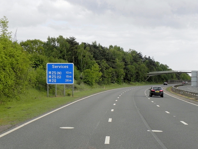
Image: © David Dixon Taken: 15 May 2013
The sign is blue rather than green (as would be expected on an A-road) because the services to which it refers are all on motorways (M20 or M25).
Images are licensed for reuse under creativecommons.org/licenses/by-sa/2.0
Image Location
Latitude
51.402324
Longitude
0.157053