Field and a house by Rising Lane north of Kingswood
Introduction
The photograph on this page of Field and a house by Rising Lane north of Kingswood by Robin Stott as part of the Geograph project.
The Geograph project started in 2005 with the aim of publishing, organising and preserving representative images for every square kilometre of Great Britain, Ireland and the Isle of Man.

There are currently over 7.5m images from over 14,400 individuals and you can help contribute to the project by visiting https://www.geograph.org.uk
Field and a house by Rising Lane north of Kingswood
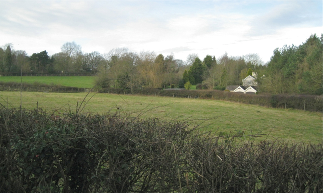
Image: © Robin Stott Taken: 3 Jan 2013
This could be the property called The Grove on Open Space maps. Dispersed settlement is an Arden characteristic.
Images are licensed for reuse under creativecommons.org/licenses/by-sa/2.0
Image Location
Latitude
52.348184
Longitude
-1.726315