Bridleway to Clay Lane, Little Dunmow
Introduction
The photograph on this page of Bridleway to Clay Lane, Little Dunmow by Roger Jones as part of the Geograph project.
The Geograph project started in 2005 with the aim of publishing, organising and preserving representative images for every square kilometre of Great Britain, Ireland and the Isle of Man.

There are currently over 7.5m images from over 14,400 individuals and you can help contribute to the project by visiting https://www.geograph.org.uk
Bridleway to Clay Lane, Little Dunmow
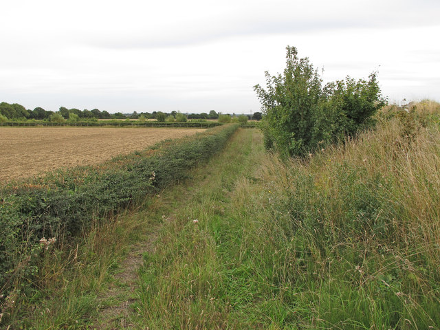
Image: © Roger Jones Taken: 1 Sep 2013
Close to the bridge which carries the road to Little Dunmow over the A120, this path runs alongside recently harvested arable land.
Images are licensed for reuse under creativecommons.org/licenses/by-sa/2.0
Image Location
Latitude
51.873226
Longitude
0.404336