Shadwell, The Highway
Introduction
The photograph on this page of Shadwell, The Highway by David Dixon as part of the Geograph project.
The Geograph project started in 2005 with the aim of publishing, organising and preserving representative images for every square kilometre of Great Britain, Ireland and the Isle of Man.

There are currently over 7.5m images from over 14,400 individuals and you can help contribute to the project by visiting https://www.geograph.org.uk
Shadwell, The Highway
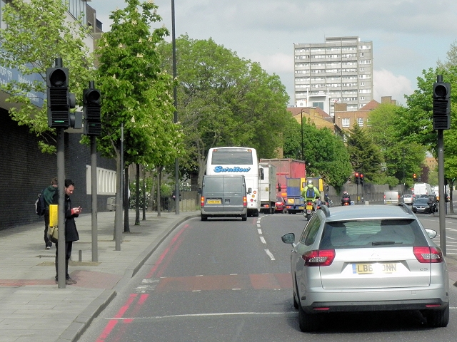
Image: © David Dixon Taken: 15 May 2013
The building on the left hand side with blue engineering brick wall, row of windows in a pale surround and higher level glazed wall bands houses St George's Pools, completed in 1965 Image
Images are licensed for reuse under creativecommons.org/licenses/by-sa/2.0
Image Location
Latitude
51.509602
Longitude
-0.058663