Fore Street, Okehampton
Introduction
The photograph on this page of Fore Street, Okehampton by mike smith as part of the Geograph project.
The Geograph project started in 2005 with the aim of publishing, organising and preserving representative images for every square kilometre of Great Britain, Ireland and the Isle of Man.

There are currently over 7.5m images from over 14,400 individuals and you can help contribute to the project by visiting https://www.geograph.org.uk
Fore Street, Okehampton
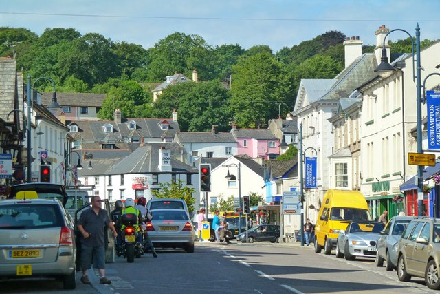
Image: © mike smith Taken: 7 Aug 2013
This used to be the main A30 route to Cornwall. The town is now bypassed, but the town centre roads remain busy.
Images are licensed for reuse under creativecommons.org/licenses/by-sa/2.0
Image Location
Latitude
50.73891
Longitude
-4.003437