Footpath to Manor Farm
Introduction
The photograph on this page of Footpath to Manor Farm by David Anstiss as part of the Geograph project.
The Geograph project started in 2005 with the aim of publishing, organising and preserving representative images for every square kilometre of Great Britain, Ireland and the Isle of Man.

There are currently over 7.5m images from over 14,400 individuals and you can help contribute to the project by visiting https://www.geograph.org.uk
Footpath to Manor Farm
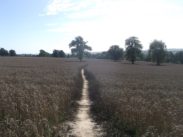
Image: © David Anstiss Taken: 31 Aug 2013
This straight fieldpath leads from the road (leading to Bells Yew Green) towards Manor Farm. Note: on OS Maps it is shown more zigzagging!
Images are licensed for reuse under creativecommons.org/licenses/by-sa/2.0
Image Location
Latitude
51.096106
Longitude
0.280168