Breck Road, Poulton le Fylde
Introduction
The photograph on this page of Breck Road, Poulton le Fylde by Colin Eastwood as part of the Geograph project.
The Geograph project started in 2005 with the aim of publishing, organising and preserving representative images for every square kilometre of Great Britain, Ireland and the Isle of Man.

There are currently over 7.5m images from over 14,400 individuals and you can help contribute to the project by visiting https://www.geograph.org.uk
Breck Road, Poulton le Fylde
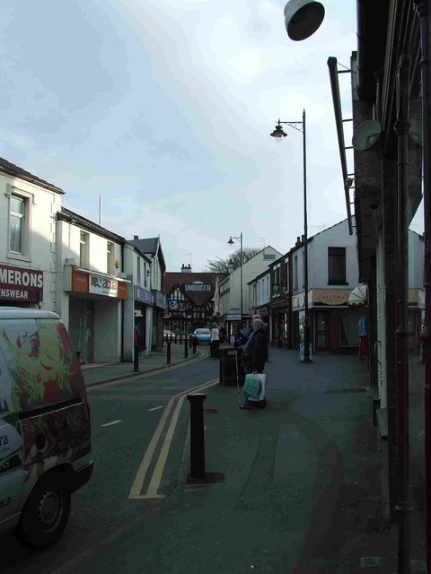
Image: © Colin Eastwood Taken: 12 Mar 2007
Looking South down Breck Rd. The Thatched House pub can be seen at the end.
Images are licensed for reuse under creativecommons.org/licenses/by-sa/2.0
Image Location


Leaflet Map data © OpenStreetMap
Latitude
53.846467
Longitude
-2.991429