Canongate Bridge
Introduction
The photograph on this page of Canongate Bridge by Mr M Evison as part of the Geograph project.
The Geograph project started in 2005 with the aim of publishing, organising and preserving representative images for every square kilometre of Great Britain, Ireland and the Isle of Man.

There are currently over 7.5m images from over 14,400 individuals and you can help contribute to the project by visiting https://www.geograph.org.uk
Canongate Bridge
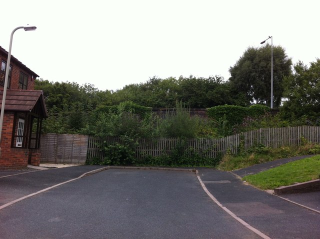
Image: © Mr M Evison Taken: 28 Aug 2013
This bridge used to serve the L&NWR then later GWR mine line from Coalport to Hadley, this is where the track would pass under into Oakengates Goods yard (now Commercial Way) http://www.geograph.org.uk/photo/1106551 and on to Oakengates West station http://www.geograph.org.uk/photo/619844.
Images are licensed for reuse under creativecommons.org/licenses/by-sa/2.0
Image Location
Latitude
52.692951
Longitude
-2.449006