View of Cooper House farm
Introduction
The photograph on this page of View of Cooper House farm by Robert Graham as part of the Geograph project.
The Geograph project started in 2005 with the aim of publishing, organising and preserving representative images for every square kilometre of Great Britain, Ireland and the Isle of Man.

There are currently over 7.5m images from over 14,400 individuals and you can help contribute to the project by visiting https://www.geograph.org.uk
View of Cooper House farm
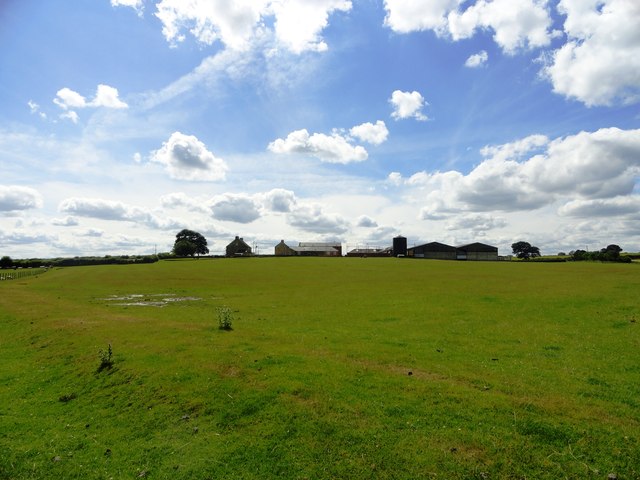
Image: © Robert Graham Taken: 31 Jul 2013
Looking across the fields from the path north of the farm. This is a large farming establishment that looks as if it could be mid 19th century in origin. It is shown on the first Ordnance Survey maps from that time. Many big farms like this one were established, or old ones enlarged and rebuilt, in this period.
Images are licensed for reuse under creativecommons.org/licenses/by-sa/2.0
Image Location
Latitude
54.896011
Longitude
-1.630284