Railway cutting, East Dulwich
Introduction
The photograph on this page of Railway cutting, East Dulwich by Stephen Craven as part of the Geograph project.
The Geograph project started in 2005 with the aim of publishing, organising and preserving representative images for every square kilometre of Great Britain, Ireland and the Isle of Man.

There are currently over 7.5m images from over 14,400 individuals and you can help contribute to the project by visiting https://www.geograph.org.uk
Railway cutting, East Dulwich
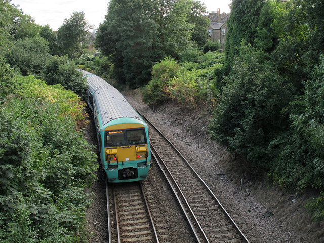
Image: © Stephen Craven Taken: 30 Aug 2013
The railway runs in a cutting for much of the route between Peckham Rye and East Dulwich. Seen here from the footbridge at Copleston Passage. Compare a similar view only 2.5 years earlier Image showing how quickly the vegetation has regrown.
Images are licensed for reuse under creativecommons.org/licenses/by-sa/2.0
Image Location
Latitude
51.466764
Longitude
-0.078479