Sharp Bend
Introduction
The photograph on this page of Sharp Bend by Roy William Shakespeare as part of the Geograph project.
The Geograph project started in 2005 with the aim of publishing, organising and preserving representative images for every square kilometre of Great Britain, Ireland and the Isle of Man.

There are currently over 7.5m images from over 14,400 individuals and you can help contribute to the project by visiting https://www.geograph.org.uk
Sharp Bend
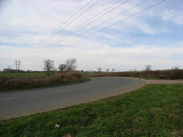
Image: © Roy William Shakespeare Taken: 11 Mar 2007
This sharp bend (almost a right-angle) is just North of Sharnford on the road to aston Flamville. At the right-hand edge of the image is a farmyard entrance.
Images are licensed for reuse under creativecommons.org/licenses/by-sa/2.0
Image Location


Leaflet Map data © OpenStreetMap
Latitude
52.526132
Longitude
-1.298203