View across the Swale
Introduction
The photograph on this page of View across the Swale by Penny Mayes as part of the Geograph project.
The Geograph project started in 2005 with the aim of publishing, organising and preserving representative images for every square kilometre of Great Britain, Ireland and the Isle of Man.

There are currently over 7.5m images from over 14,400 individuals and you can help contribute to the project by visiting https://www.geograph.org.uk
View across the Swale
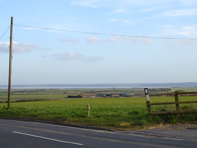
Image: © Penny Mayes Taken: 8 Mar 2007
From the end of Eastchurch High Street. The track on the right leads to New Rides Farm. Old Rides Farm is in the middle distance in Image The built up area on the mainland on the left of the picture is Whitstable and Seasalter, about 13 kilometres away.
Images are licensed for reuse under creativecommons.org/licenses/by-sa/2.0
Image Location
Latitude
51.403003
Longitude
0.863944