Allt na Cnodaich
Introduction
The photograph on this page of Allt na Cnodaich by Tiger as part of the Geograph project.
The Geograph project started in 2005 with the aim of publishing, organising and preserving representative images for every square kilometre of Great Britain, Ireland and the Isle of Man.

There are currently over 7.5m images from over 14,400 individuals and you can help contribute to the project by visiting https://www.geograph.org.uk
Allt na Cnodaich
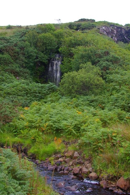
Image: © Tiger Taken: 16 Aug 2013
The burn is a tributary of the Amar River, which it joins not far below these falls. For a view of the falls in spate see Image
Images are licensed for reuse under creativecommons.org/licenses/by-sa/2.0
Image Location
Latitude
57.365258
Longitude
-6.378255