Frays Farm Meadows Nature Reserve and the Frays River
Introduction
The photograph on this page of Frays Farm Meadows Nature Reserve and the Frays River by David Leeming as part of the Geograph project.
The Geograph project started in 2005 with the aim of publishing, organising and preserving representative images for every square kilometre of Great Britain, Ireland and the Isle of Man.

There are currently over 7.5m images from over 14,400 individuals and you can help contribute to the project by visiting https://www.geograph.org.uk
Frays Farm Meadows Nature Reserve and the Frays River
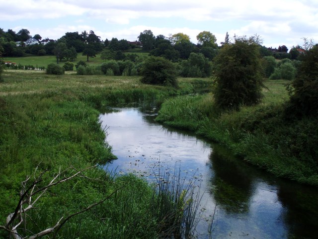
Image: © David Leeming Taken: 21 Jul 2008
A downstream view of the Frays River near the disused railway. The adjacent grazing meadows are designated as a SSSI as they represent one of the few remaining areas of a habitat that was once extensive in the Colne Valley before gravel extraction, urbanisation and agricultural intensification. The Frays River is a distributory of the River Colne - it splits from that river about a 500m upstream of this point, before passing under the Grand Union Canal (which was built later) to reach this area. The Frays River eventually rejoins the River Colne further down the Colne Valley.
Images are licensed for reuse under creativecommons.org/licenses/by-sa/2.0
Image Location
Latitude
51.56387
Longitude
-0.475625