Nea Meadows, Highcliffe, Dorset
Introduction
The photograph on this page of Nea Meadows, Highcliffe, Dorset by mike smith as part of the Geograph project.
The Geograph project started in 2005 with the aim of publishing, organising and preserving representative images for every square kilometre of Great Britain, Ireland and the Isle of Man.

There are currently over 7.5m images from over 14,400 individuals and you can help contribute to the project by visiting https://www.geograph.org.uk
Nea Meadows, Highcliffe, Dorset
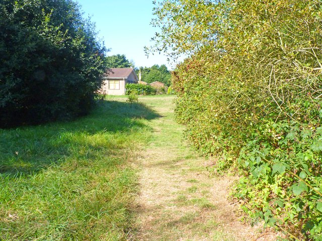
Image: © mike smith Taken: 31 Aug 2013
This is the southern part of the meadow, which is actually mostly wooded. The buildings in the distance belong to Highcliffe Bowling Club.
Images are licensed for reuse under creativecommons.org/licenses/by-sa/2.0
Image Location
Latitude
50.743008
Longitude
-1.714653