Mid Devon : Hangman's Hill
Introduction
The photograph on this page of Mid Devon : Hangman's Hill by Lewis Clarke as part of the Geograph project.
The Geograph project started in 2005 with the aim of publishing, organising and preserving representative images for every square kilometre of Great Britain, Ireland and the Isle of Man.

There are currently over 7.5m images from over 14,400 individuals and you can help contribute to the project by visiting https://www.geograph.org.uk
Mid Devon : Hangman's Hill
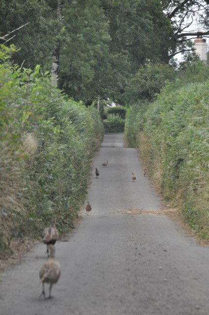
Image: © Lewis Clarke Taken: 30 Aug 2013
A road heading from the steep valley of Iron Mill Stream back up towards Oakford.
Images are licensed for reuse under creativecommons.org/licenses/by-sa/2.0
Image Location
Latitude
50.980713
Longitude
-3.543846