Baillieston, Calderbank
Introduction
The photograph on this page of Baillieston, Calderbank by Robert Murray as part of the Geograph project.
The Geograph project started in 2005 with the aim of publishing, organising and preserving representative images for every square kilometre of Great Britain, Ireland and the Isle of Man.

There are currently over 7.5m images from over 14,400 individuals and you can help contribute to the project by visiting https://www.geograph.org.uk
Baillieston, Calderbank
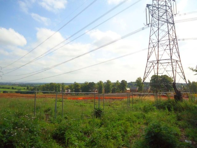
Image: © Robert Murray Taken: 25 Aug 2013
Area now cleared of mature forest which was planted in the 1990s by the Clyde-Calders Project which was managed by the Countryside Commission for Scotland as part of an urban fringe plan of improving the environment and creating opportunities for informal recreation. So much for that then.
Images are licensed for reuse under creativecommons.org/licenses/by-sa/2.0
Image Location
Latitude
55.843875
Longitude
-4.110789