St Thomas RC Church, Keith
Introduction
The photograph on this page of St Thomas RC Church, Keith by Stanley Howe as part of the Geograph project.
The Geograph project started in 2005 with the aim of publishing, organising and preserving representative images for every square kilometre of Great Britain, Ireland and the Isle of Man.

There are currently over 7.5m images from over 14,400 individuals and you can help contribute to the project by visiting https://www.geograph.org.uk
St Thomas RC Church, Keith
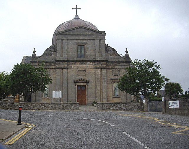
Image: © Stanley Howe Taken: 27 Aug 2013
Flanked on the right of Chapel Street by St Thomas Primary School. For a summary of the church's history and architecture, see http://www.scotlandschurchestrust.org.uk/church/st-thomass-keith & http://wikimapia.org/14186709/St-Thomas-church .
Images are licensed for reuse under creativecommons.org/licenses/by-sa/2.0
Image Location
Latitude
57.538592
Longitude
-2.953914