Site of Heather & Ibstock station
Introduction
The photograph on this page of Site of Heather & Ibstock station by Ben Brooksbank as part of the Geograph project.
The Geograph project started in 2005 with the aim of publishing, organising and preserving representative images for every square kilometre of Great Britain, Ireland and the Isle of Man.

There are currently over 7.5m images from over 14,400 individuals and you can help contribute to the project by visiting https://www.geograph.org.uk
Site of Heather & Ibstock station
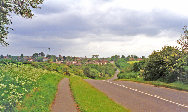
Image: © Ben Brooksbank Taken: 29 May 1995
View westward, towards Heather on the B591 from Ibstock (now declassified): the station had been in the dip ahead. It was on the ex-LNWR & Midland Joint (Ashby & Nuneaton) line from Nuneaton via Shackerstone (to left) to Coalville and Loughborough (right), the Charnwood Forest line. The station closed 13/4/31, but the line remained for goods until 7/10/63.
Images are licensed for reuse under creativecommons.org/licenses/by-sa/2.0
Image Location
Latitude
52.692274
Longitude
-1.415684