Main Street, Caledon
Introduction
The photograph on this page of Main Street, Caledon by Kenneth Allen as part of the Geograph project.
The Geograph project started in 2005 with the aim of publishing, organising and preserving representative images for every square kilometre of Great Britain, Ireland and the Isle of Man.

There are currently over 7.5m images from over 14,400 individuals and you can help contribute to the project by visiting https://www.geograph.org.uk
Main Street, Caledon
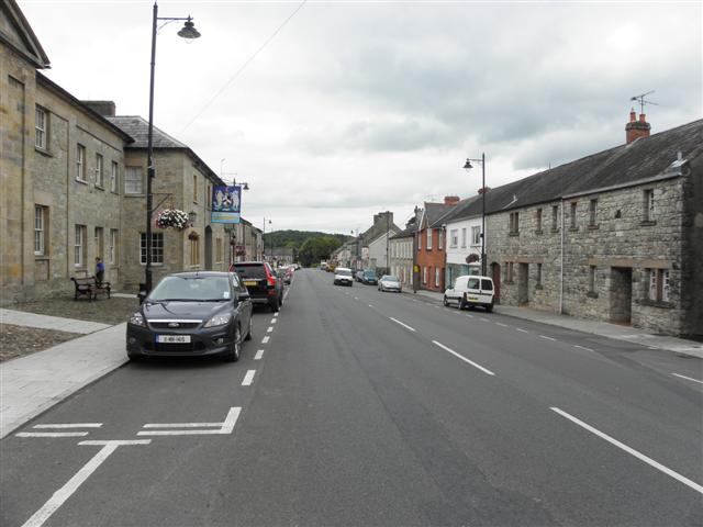
Image: © Kenneth Allen Taken: 28 Aug 2013
This information was read here Image] HISTORY OF CALEDON In the Middle Ages, Caledon, then known as Kinnard, was a strategic military settlement held by the O'Neill family. In 1498 Mac Art O'Neill was driven out by the Earl of Kildare then replaced by Turlough O 'Neill whose descendants owned the village up until the Ulster Rising of 1641. Following this Cromwell confiscated their property later granting it to the Hamilton family from whom it passed by marriage to the fifth Earl of Orrery. Some argue that William Hamilton named the town after his native Scotland (Caledonia),others believed that Caledon is a corruption of 'Culligan' (a town land within the demesne) or that the name has been derived from Irish ('Fort in the marshy meadow'). Caledon was built in the early 19th century by James Du Pre Alexander.
Images are licensed for reuse under creativecommons.org/licenses/by-sa/2.0
Image Location
Latitude
54.351332
Longitude
-6.837316