Twitton Meadows, Otford
Introduction
The photograph on this page of Twitton Meadows, Otford by Marathon as part of the Geograph project.
The Geograph project started in 2005 with the aim of publishing, organising and preserving representative images for every square kilometre of Great Britain, Ireland and the Isle of Man.

There are currently over 7.5m images from over 14,400 individuals and you can help contribute to the project by visiting https://www.geograph.org.uk
Twitton Meadows, Otford
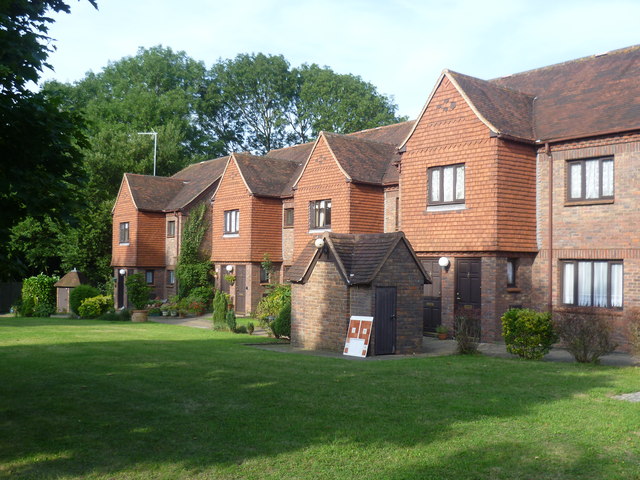
Image: © Marathon Taken: 28 Aug 2013
This new housing development on the western edge of Otford takes its name from the nearby Twitton Lane and Twitton House.
Images are licensed for reuse under creativecommons.org/licenses/by-sa/2.0
Image Location
Latitude
51.31283
Longitude
0.172369