Stream and weir from Brantham Bridge on the A137
Introduction
The photograph on this page of Stream and weir from Brantham Bridge on the A137 by Liz McCabe as part of the Geograph project.
The Geograph project started in 2005 with the aim of publishing, organising and preserving representative images for every square kilometre of Great Britain, Ireland and the Isle of Man.

There are currently over 7.5m images from over 14,400 individuals and you can help contribute to the project by visiting https://www.geograph.org.uk
Stream and weir from Brantham Bridge on the A137
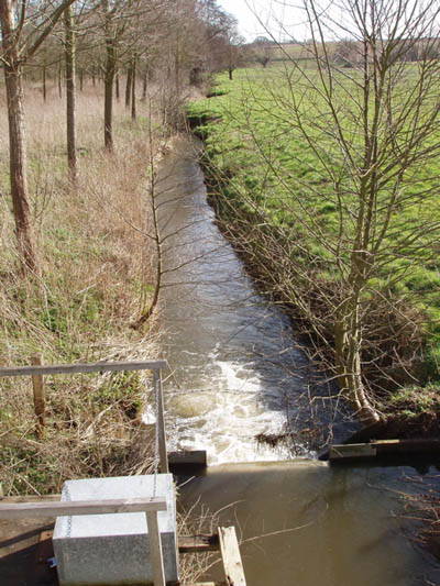
Image: © Liz McCabe Taken: 9 Mar 2007
Showing the stream in full flow after a long spell of wet weather
Images are licensed for reuse under creativecommons.org/licenses/by-sa/2.0
Image Location


Leaflet Map data © OpenStreetMap
Latitude
51.974099
Longitude
1.091734