Scotia Road, Burslem
Introduction
The photograph on this page of Scotia Road, Burslem by David Weston as part of the Geograph project.
The Geograph project started in 2005 with the aim of publishing, organising and preserving representative images for every square kilometre of Great Britain, Ireland and the Isle of Man.

There are currently over 7.5m images from over 14,400 individuals and you can help contribute to the project by visiting https://www.geograph.org.uk
Scotia Road, Burslem
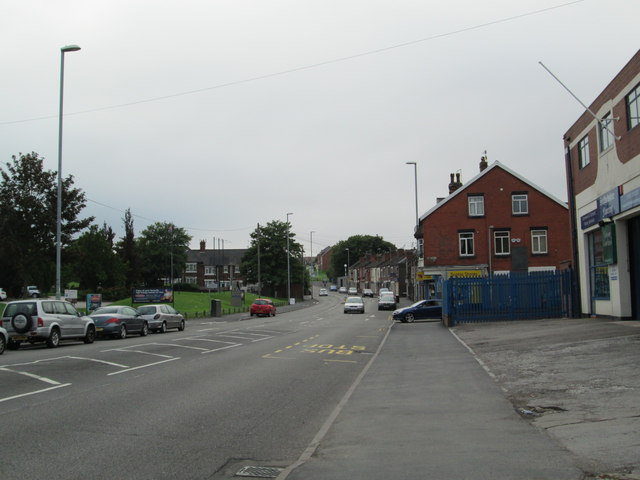
Image: © David Weston Taken: 25 Aug 2013
Between Tunstall and Burslem, looking south-east. The junction with Chatterley Street is near the blue fence on the right.
Images are licensed for reuse under creativecommons.org/licenses/by-sa/2.0
Image Location
Latitude
53.051769
Longitude
-2.200311