Looking across the northern entrance to Polhill Tunnel
Introduction
The photograph on this page of Looking across the northern entrance to Polhill Tunnel by Marathon as part of the Geograph project.
The Geograph project started in 2005 with the aim of publishing, organising and preserving representative images for every square kilometre of Great Britain, Ireland and the Isle of Man.

There are currently over 7.5m images from over 14,400 individuals and you can help contribute to the project by visiting https://www.geograph.org.uk
Looking across the northern entrance to Polhill Tunnel
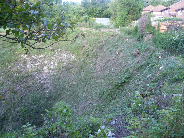
Image: © Marathon Taken: 27 Aug 2013
The South Eastern Railway (SER) opened their "cut off" line through Orpington and Sevenoaks to Tonbridge on 2nd March 1868. This shortened its route from London to Dover which previously went via Redhill. From 1994 until 2003 Eurostars ran along this line to and from the Channel Tunnel. Travelling between Chelsfield and Tonbridge there are three long tunnels. The first one is Knockholt Tunnel at 800 yards after which comes Knockholt station. Then comes Polhill Tunnel which was built between 1864 and 1868 and is 1 mile 849yd long. The two tunnels either side of Knockholt station have very deep cuttings through the chalk as seen in this view across the northern entrance to Polhill Tunnel, seen from Old London Road. The entrance to the tunnel is just below the left hand side of the photograph. The houses on the right above the tunnel are in Badgers Rise. After Sevenoaks comes Sevenoaks Tunnel which is just under two miles long - see http://www.geograph.org.uk/photo/3511614
Images are licensed for reuse under creativecommons.org/licenses/by-sa/2.0
Image Location
Latitude
51.340251
Longitude
0.143513