Harold Hill: Site of former Noak Hill Road footbridge
Introduction
The photograph on this page of Harold Hill: Site of former Noak Hill Road footbridge by Nigel Cox as part of the Geograph project.
The Geograph project started in 2005 with the aim of publishing, organising and preserving representative images for every square kilometre of Great Britain, Ireland and the Isle of Man.

There are currently over 7.5m images from over 14,400 individuals and you can help contribute to the project by visiting https://www.geograph.org.uk
Harold Hill: Site of former Noak Hill Road footbridge
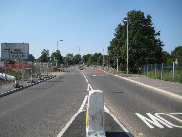
Image: © Nigel Cox Taken: 26 Aug 2013
This is the site of the former footbridge across Noak Hill Road, which was built in 1970 and demolished in 2013. It is planned that it will be replaced with a toucan crossing.
Images are licensed for reuse under creativecommons.org/licenses/by-sa/2.0
Image Location
Latitude
51.610452
Longitude
0.208504