St Peter & St Paul Church West Clandon
Introduction
The photograph on this page of St Peter & St Paul Church West Clandon by Paul Gillett as part of the Geograph project.
The Geograph project started in 2005 with the aim of publishing, organising and preserving representative images for every square kilometre of Great Britain, Ireland and the Isle of Man.

There are currently over 7.5m images from over 14,400 individuals and you can help contribute to the project by visiting https://www.geograph.org.uk
St Peter & St Paul Church West Clandon
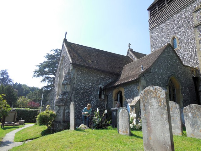
Image: © Paul Gillett Taken: 28 Aug 2013
Located next to Clandon Park The church is mentioned in the Domesday Survey of 1086, but of this building nothing is now left. The earliest portion of the present structure is thenave, which dates from about 1180; http://www.british-history.ac.uk/report.aspx?compid=42981#s3
Images are licensed for reuse under creativecommons.org/licenses/by-sa/2.0
Image Location
Latitude
51.250812
Longitude
-0.504928