Remains of a stone wall boundary
Introduction
The photograph on this page of Remains of a stone wall boundary by Stanley Howe as part of the Geograph project.
The Geograph project started in 2005 with the aim of publishing, organising and preserving representative images for every square kilometre of Great Britain, Ireland and the Isle of Man.

There are currently over 7.5m images from over 14,400 individuals and you can help contribute to the project by visiting https://www.geograph.org.uk
Remains of a stone wall boundary
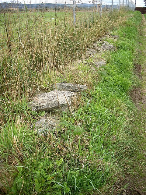
Image: © Stanley Howe Taken: 27 Aug 2013
Between Seafield Walk and the chain-link fence that now surrounds Keith Showground.
Images are licensed for reuse under creativecommons.org/licenses/by-sa/2.0
Image Location
Latitude
57.536424
Longitude
-2.955528