Penparcau
Introduction
The photograph on this page of Penparcau by Ian Capper as part of the Geograph project.
The Geograph project started in 2005 with the aim of publishing, organising and preserving representative images for every square kilometre of Great Britain, Ireland and the Isle of Man.

There are currently over 7.5m images from over 14,400 individuals and you can help contribute to the project by visiting https://www.geograph.org.uk
Penparcau
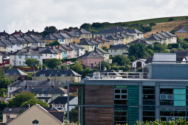
Image: © Ian Capper Taken: 2 Aug 2013
Looking across to housing in the Aberystwyth suburb of Penparcau. The corner of the large building in the foreground is the Welsh Government Building in Boulevard St Brieuc.
Images are licensed for reuse under creativecommons.org/licenses/by-sa/2.0
Image Location
Latitude
52.401251
Longitude
-4.076102