Field, Cutland
Introduction
The photograph on this page of Field, Cutland by Derek Harper as part of the Geograph project.
The Geograph project started in 2005 with the aim of publishing, organising and preserving representative images for every square kilometre of Great Britain, Ireland and the Isle of Man.

There are currently over 7.5m images from over 14,400 individuals and you can help contribute to the project by visiting https://www.geograph.org.uk
Field, Cutland
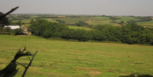
Image: © Derek Harper Taken: 22 Aug 2013
A glimpse of countryside around tributaries of Catham Lake, from the lane between Toll Bar Cross and Cutland Cross. On the left are farm buildings at Cutland House.
Images are licensed for reuse under creativecommons.org/licenses/by-sa/2.0
Image Location
Latitude
50.93839
Longitude
-3.878917