Track into fields off Highstreet Road
Introduction
The photograph on this page of Track into fields off Highstreet Road by David Martin as part of the Geograph project.
The Geograph project started in 2005 with the aim of publishing, organising and preserving representative images for every square kilometre of Great Britain, Ireland and the Isle of Man.

There are currently over 7.5m images from over 14,400 individuals and you can help contribute to the project by visiting https://www.geograph.org.uk
Track into fields off Highstreet Road
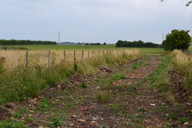
Image: © David Martin Taken: 25 Aug 2013
This area has clearly been used for different configurations of greenhouse structures. At present a large area shown as greenhouses on the Ordnance Survey map is open fields.
Images are licensed for reuse under creativecommons.org/licenses/by-sa/2.0
Image Location
Latitude
51.325813
Longitude
0.983593