Old Park Hill
Introduction
The photograph on this page of Old Park Hill by John Baker as part of the Geograph project.
The Geograph project started in 2005 with the aim of publishing, organising and preserving representative images for every square kilometre of Great Britain, Ireland and the Isle of Man.

There are currently over 7.5m images from over 14,400 individuals and you can help contribute to the project by visiting https://www.geograph.org.uk
Old Park Hill
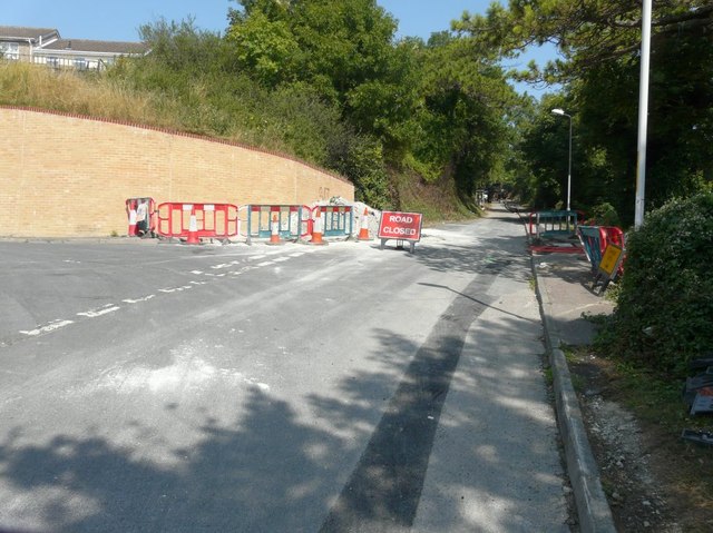
Image: © John Baker Taken: 23 Aug 2013
Seen from its junction with Weavers Way (to the left) and closed ahead for repairs to the road surface.
Images are licensed for reuse under creativecommons.org/licenses/by-sa/2.0
Image Location
Latitude
51.1438
Longitude
1.293717