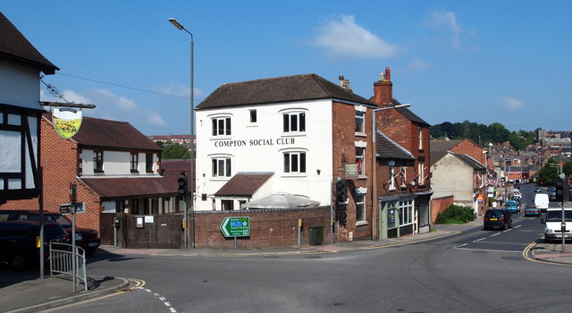
Compton Area, Ashbourne, Derbys.
Introduction
The photograph on this page of Compton Area, Ashbourne, Derbys. by David Hallam-Jones as part of the Geograph project.
The Geograph project started in 2005 with the aim of publishing, organising and preserving representative images for every square kilometre of Great Britain, Ireland and the Isle of Man.
There are currently over 7.5m images from over 14,400 individuals and you can help contribute to the project by visiting https://www.geograph.org.uk

Image: © David Hallam-Jones Taken: 26 Aug 2013
A busy junction on the south side of the town. This is the point where Old Hill (behind the photographer) approaches the town centre. Station Street (the A515) can be seen on the left, disappearing behind the side of the former Plough Inn. Compton Street (also the A515)- straight ahead - leads to the town centre, whilst Sturston Road (the A517) branches off to the right. Catherine Booth, nee Mumford, who married William Booth, the Salvation Army founder, lived at No.13, Sturston Road. The original town of Ashbourne was always to the north of the Henmore Brook that crosses Compton Street. Compton was a separate village with its own market and it was not until 1873 that Compton came under the jurisdiction of Ashbourne.

