Bellmount Plantation
Introduction
The photograph on this page of Bellmount Plantation by Kate Jewell as part of the Geograph project.
The Geograph project started in 2005 with the aim of publishing, organising and preserving representative images for every square kilometre of Great Britain, Ireland and the Isle of Man.

There are currently over 7.5m images from over 14,400 individuals and you can help contribute to the project by visiting https://www.geograph.org.uk
Bellmount Plantation
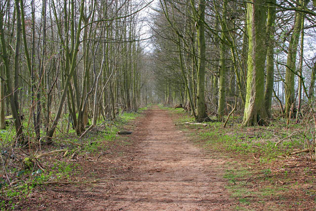
Image: © Kate Jewell Taken: 11 Mar 2007
Public access route through the National Trust's Belton Estate woodland. The bright green plants on the woodland floor are new shoots of Dog's Mercury.
Images are licensed for reuse under creativecommons.org/licenses/by-sa/2.0
Image Location
Latitude
52.9434
Longitude
-0.586826