National Cycle Network route 881 to Ferndale
Introduction
The photograph on this page of National Cycle Network route 881 to Ferndale by Jaggery as part of the Geograph project.
The Geograph project started in 2005 with the aim of publishing, organising and preserving representative images for every square kilometre of Great Britain, Ireland and the Isle of Man.

There are currently over 7.5m images from over 14,400 individuals and you can help contribute to the project by visiting https://www.geograph.org.uk
National Cycle Network route 881 to Ferndale
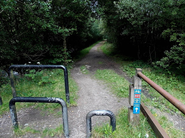
Image: © Jaggery Taken: 20 Aug 2013
The footpath and cycle route head NW towards Ferndale along the east bank of the Rhondda Fach river. Viewed from the NE side of this http://www.geograph.org.uk/photo/3623591 footbridge.
Images are licensed for reuse under creativecommons.org/licenses/by-sa/2.0
Image Location
Latitude
51.656216
Longitude
-3.438466