Looking down the course of the old A46 in Swallow
Introduction
The photograph on this page of Looking down the course of the old A46 in Swallow by Chris as part of the Geograph project.
The Geograph project started in 2005 with the aim of publishing, organising and preserving representative images for every square kilometre of Great Britain, Ireland and the Isle of Man.

There are currently over 7.5m images from over 14,400 individuals and you can help contribute to the project by visiting https://www.geograph.org.uk
Looking down the course of the old A46 in Swallow
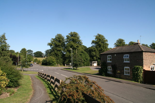
Image: © Chris Taken: 26 Aug 2013
The road ahead finishes at the new A46, with the last section now just a byway.
Images are licensed for reuse under creativecommons.org/licenses/by-sa/2.0
Image Location
Latitude
53.510874
Longitude
-0.22644