Harold Wood: Queen's Park Road
Introduction
The photograph on this page of Harold Wood: Queen's Park Road by Nigel Cox as part of the Geograph project.
The Geograph project started in 2005 with the aim of publishing, organising and preserving representative images for every square kilometre of Great Britain, Ireland and the Isle of Man.

There are currently over 7.5m images from over 14,400 individuals and you can help contribute to the project by visiting https://www.geograph.org.uk
Harold Wood: Queen's Park Road
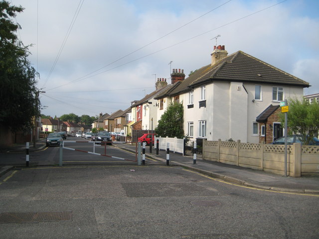
Image: © Nigel Cox Taken: 26 Aug 2013
Queen's Park Road now has a barrier at its eastern end. The old large scale Ordnance Survey map of 1896 records the name as Queen's Road, but by the time that the 1920 edition was published it had acquired its present-day name.
Images are licensed for reuse under creativecommons.org/licenses/by-sa/2.0
Image Location
Latitude
51.595685
Longitude
0.237965