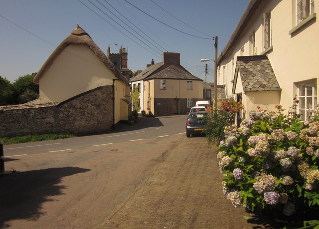
Junction, Chulmleigh
Introduction
The photograph on this page of Junction, Chulmleigh by Derek Harper as part of the Geograph project.
The Geograph project started in 2005 with the aim of publishing, organising and preserving representative images for every square kilometre of Great Britain, Ireland and the Isle of Man.
There are currently over 7.5m images from over 14,400 individuals and you can help contribute to the project by visiting https://www.geograph.org.uk

Image: © Derek Harper Taken: 22 Aug 2013
Fore Street is joined by the B3096, coming in from the left and turning into The Square. Ahead, New Street turns off towards the church. Every visible building is listed; on the left is the gable end of Hill View http://list.english-heritage.org.uk/resultsingle.aspx?uid=1325763&searchtype=mapsearch , while on the right, with the porch, is The Hill http://list.english-heritage.org.uk/resultsingle.aspx?uid=1325764&searchtype=mapsearch . Facing the camera between them is the former toll-house http://list.english-heritage.org.uk/resultsingle.aspx?uid=1106688&searchtype=mapsearch which "was used as a sorting office when Rainbow House" (the building next door with the large brick stack http://list.english-heritage.org.uk/resultsingle.aspx?uid=1106687&searchtype=mapsearch ) "operated as the town post office".

