Little Dart Valley
Introduction
The photograph on this page of Little Dart Valley by Derek Harper as part of the Geograph project.
The Geograph project started in 2005 with the aim of publishing, organising and preserving representative images for every square kilometre of Great Britain, Ireland and the Isle of Man.

There are currently over 7.5m images from over 14,400 individuals and you can help contribute to the project by visiting https://www.geograph.org.uk
Little Dart Valley
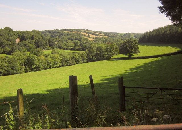
Image: © Derek Harper Taken: 22 Aug 2013
This is the view shown in Image, seven and a bit years on, from Rodgemonts Cross. That must be a quarry face in Park Mill Wood on the left, but it's not shown on any map. On the right is Cleave's Wood.
Images are licensed for reuse under creativecommons.org/licenses/by-sa/2.0
Image Location
Latitude
50.906133
Longitude
-3.860265